Finding Your USDA Growing Zone by ZIP Code in Washington
A ZIP code can give you a useful starting point for choosing plants in Washington, but it cannot describe every garden’s winter conditions. The USDA Plant Hardiness Zone Map helps estimate whether perennial plants can withstand local winter cold. Here’s how to use a ZIP-code lookup, understand its limits, and combine it with the local details that matter for planting.
What a USDA growing zone tells you
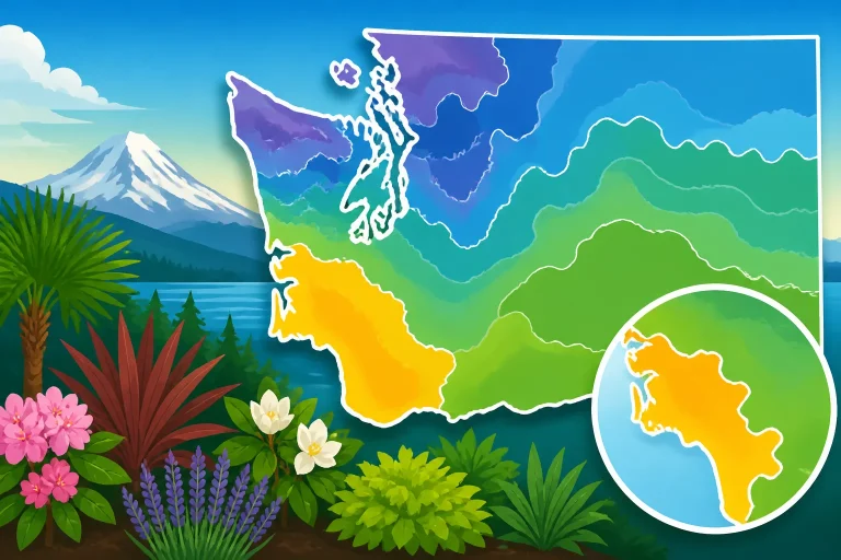
The USDA Plant Hardiness Zone Map is a tool for assessing winter cold risk for perennial plants. Its zones reflect the average annual extreme minimum winter temperature in a location. A plant labeled hardy for a particular zone is generally expected to tolerate the winter lows associated with that zone, though the map cannot guarantee that an individual plant will thrive.
Washington State University explains that the map divides zones into half zones designated as a and b, which are in 5-degree increments. The letter matters: two nearby places can fall into different half zones, and a plant’s listed hardiness may distinguish between them. When checking a plant label or reference, compare the full zone designation rather than relying on the broad zone number alone.
A growing zone is most useful when you are choosing plants that remain outdoors through winter, such as trees, shrubs, many perennials, and some perennial fruit crops. It can help you screen out plants that are unlikely to survive the coldest winters typical of your area. It is not a promise of survival. Plant health also depends on such factors as drainage, exposure to wind, winter wetness, snow cover, the plant’s condition, and how well it has become established.
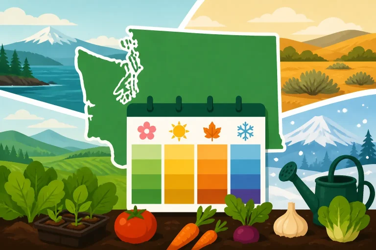
The zone is also not a planting calendar. It does not tell you when the soil will be workable, when to sow vegetables, or when a late spring frost is likely to pass. Those questions depend on local seasonal weather and the crop’s needs. For timing, pair a zone lookup with Washington Planting Calendars: Regional Timing Across the State and Washington Freeze Dates and Growing Season Lengths.
This distinction is important in Washington because the state includes very different growing conditions. A ZIP-code lookup can point you toward the general winter-hardiness category for an area, but the same zone does not mean the same growing season, rainfall pattern, or summer temperature everywhere. To understand the broader east-west differences, see Washington Planting Schedules: East vs West of the Cascades.
How to look up your zone by ZIP code
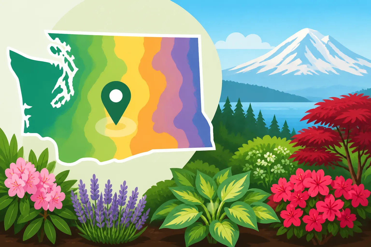
Start with the official USDA Plant Hardiness Zone Map. Use its ZIP-code lookup if available, or use the map to locate your community and inspect the color and zone key. Enter the ZIP code for the area where the plants will grow, not simply the ZIP code associated with a mailing address if your garden is in a different location.
Treat the result as a first estimate, not a precise reading for every property in the ZIP code. A ZIP code describes a postal area, while the map represents growing conditions across geographic areas. The map may show meaningful differences within a region, and a ZIP-code result cannot tell you whether your particular yard sits in a sheltered hollow, on a windy ridge, or beside a heat-retaining wall.
When the result appears, take note of the full zone designation, including its letter. Then confirm the location visually on the map. If the result seems inconsistent with nearby communities or with conditions you have observed, zoom in and compare the area around your garden. The map is meant to support a location-based estimate; a postal lookup is simply a convenient way to get started.
A useful lookup process is:
- Enter the ZIP code associated with the garden location in the USDA map tool.
- Record the zone and its letter designation shown for that area.
- Find the garden’s position on the map and check whether it appears near a boundary or a local change in shading.
- Compare the map result with your yard’s exposure, elevation, drainage, and observed winter conditions.
- Use the zone to screen perennial choices, then consult crop-specific guidance for sowing, transplanting, and frost timing.
If the yard lies near a zone boundary, avoid treating the line as a hard border on the ground. A map boundary marks a change in the map’s classification, not a fence between two sharply different climates. A small shift in exposure or terrain can make one garden bed behave differently from another nearby. In that situation, use the more cautious interpretation for a plant whose winter survival matters, and look for local evidence before committing a large area to a borderline choice.
You can also compare your lookup with a regional overview such as Understanding Washington Growing Zones from the Cascades to Coast. The regional context helps explain why a ZIP-code result should not be interpreted as a complete description of a Washington garden.
Why a ZIP-code result may not match your yard
Washington gardens can differ over short distances. Hillsides, valleys, shorelines, urban blocks, and open rural sites do not all experience winter in the same way. The USDA map is useful for broad cold-hardiness planning, but its zone result cannot capture every property-level feature.
Microclimates change local exposure
A microclimate is a small area with conditions that differ from the surrounding landscape. In a home garden, it may be created by a slope, a fence, a building, nearby pavement, trees, or a low spot where cold air collects. A south-facing wall may warm up during sunny weather, while an exposed site can face more wind. A sheltered corner may experience less cold exposure than an open bed nearby.
These differences matter most when a plant is close to the edge of what it can tolerate. A plant comfortably hardy for the area may not need special attention to a small yard variation. A borderline plant is a different case: a cold pocket or an exposed location may make survival less reliable, even if the ZIP-code lookup appears favorable.
Observe the yard before using a zone result to make a high-stakes planting decision. Note where frost tends to linger, which areas dry slowly, where wind is strongest, and whether certain beds warm earlier than others. These observations will not replace a hardiness map, but they can help you decide how much confidence to place in its result. Spotting Warmer and Colder Microclimates Across Your Home Yard offers more ways to compare conditions within a property.
Terrain and nearby water can matter
A slope and a low-lying area can experience different cold-air movement. Cold air may settle in lower spots, while an elevated or sloped bed can have a different exposure. A site near a large body of water may also have conditions unlike those of an inland location. These patterns do not mean every shoreline garden is mild or every valley garden is cold; they are reasons to consider the actual setting rather than relying on a ZIP code alone.
Washington’s varied geography makes this especially relevant when comparing places on opposite sides of the Cascades, or comparing a shoreline community with nearby foothills. Why Puget Sound Shorelines and Foothills Differ Within King County explains why even nearby locations can have different growing conditions.
Winter survival is not the only plant requirement
A plant can survive winter and still perform poorly if the site is too wet, too dry, too shaded, or too exposed for its other needs. Hardiness is only one part of plant selection. Check the plant’s requirements for light, soil drainage, moisture, and summer conditions as well as its winter rating.
In particular, winter wetness can be a challenge for plants that need well-drained soil. A zone lookup cannot tell you whether water will stand in a bed, whether soil stays saturated, or whether roots will be exposed to repeated wet and cold conditions. Before choosing a plant for a problem site, assess drainage and the other growing conditions that shape its health.
Using your zone for plant choices and timing
A sensible way to use a zone lookup is to match it to the decision you are making. For a tree or perennial that will remain in the ground, the zone can help you evaluate cold tolerance. For vegetables and annual flowers, it is a much weaker guide to when to plant, because their success often depends on frost dates, soil temperature, and the length of the growing season.
For trees, shrubs, and perennials
Check the hardiness information for the specific plant, and compare it with the full zone designation shown for your garden area. If the plant is rated as hardy across a broader range of conditions than your location, winter cold may be less of a concern. If your site is near the plant’s limit, consider whether the garden has unusual exposure or a colder microclimate.
Do not assume that a plant rated for your zone will succeed in every part of the yard. A cold, exposed corner and a protected bed beside a building can have different outcomes. Likewise, a plant’s ability to survive winter does not show whether it will flower well, produce fruit, or tolerate the summer conditions at your site.
For a more detailed approach to using cold-hardiness ratings for perennials, see Perennial Hardiness Across Washington: USDA Zone Guidelines. For a broader explanation of what the USDA map can and cannot help you assess, Using USDA Zone Maps to Assess Winter Cold Risk for Plants is a useful companion.
For vegetables and annual crops
Do not use your growing zone as the sole signal for sowing or transplanting vegetables. Many vegetables are grown as annuals, and their planting windows depend on seasonal conditions rather than whether they can withstand an average winter low. Cool-season crops and heat-loving crops have different needs; the same ZIP-code zone does not give them a shared planting date.
Instead, use crop-specific calendars and local frost guidance. Regional planting schedules account for Washington’s differences in seasonal timing, while freeze information helps you judge the risk to tender plants. For example, the zone lookup does not tell you whether a warm spell is likely to be followed by a cold snap, or whether a soil bed has warmed enough for a particular seed.
The distinction is simple: use the zone to narrow choices for plants that must survive winter outdoors, and use seasonal guidance to decide when to plant. For vegetable timing across the state, see WSU Vegetable Calendar: Planning Across Washington Seasons. For the difference between hardiness zones and vegetable schedules, see Why Hardiness Zones Fall Short for Washington Vegetable Planting Dates.
For fruit and other long-lived plants
Fruit trees, berry bushes, and other long-lived plants may make the zone especially useful because they stay in place through multiple winters. But winter hardiness is only one factor in whether a fruit crop is suitable. A plant may survive the cold and still need a growing season, site exposure, or pollination conditions that your yard cannot provide.
Before purchasing, compare the plant’s hardiness needs with your ZIP-code result and then check whether it suits your region and site. Consider the consequences of a poor match: replacing a short-lived annual is relatively simple, while moving or replacing a mature shrub or tree takes more effort. If the plant is near its cold limit, choosing a more reliable option may be preferable to relying on a favorable microclimate that has not been tested.
Common mistakes when reading the map
A map is helpful when it is used for the question it was designed to answer. Common mistakes happen when a zone result is treated as a complete climate summary or as a promise about a particular garden.
Treating the zone as a local forecast
The map represents a long-term pattern, not the weather forecast for the coming winter. A garden can experience an unusually cold spell, and a plant that usually survives may still be damaged by severe or prolonged conditions. Conversely, a mild winter does not prove that a tender plant is reliably suited to the location.
Use the zone to assess general winter cold risk, but keep in mind that actual winter weather varies. If a plant is vulnerable, consider its placement and the conditions it will face instead of relying on a favorable map color alone.
Assuming a ZIP code identifies one exact garden climate
ZIP-code tools are convenient, but they do not measure conditions at a specific address or in an individual bed. A lookup may give a useful regional estimate while missing local differences in terrain, exposure, and shelter. If your yard sits near a boundary or has a strong microclimate, compare the surrounding map area and consider local observations.
The zone should guide a decision, not replace judgment about the site. A plant suited to the broader area may still fail in a particularly exposed spot, while a sheltered location may offer better conditions than the general map suggests.
Using a hardiness zone to schedule planting
A zone does not tell you when spring planting is safe, when autumn freezes are likely, or how long a particular crop needs to mature. Those are separate timing questions. A vegetable that tolerates a cool growing period may still need the soil to reach suitable conditions before sowing. A tender crop may be damaged by frost even when the overall regional zone suggests that many perennial plants can survive winter.
Use planting calendars and frost information for those decisions. A regional calendar is more useful than a hardiness-zone result for scheduling sowing and transplanting, and frost guidance helps you prepare for weather that threatens tender growth.
Ignoring soil and moisture
The zone does not describe soil texture, drainage, fertility, or water availability. A plant that is hardy enough may still struggle in compacted soil or a bed that remains wet. Similarly, a site that dries quickly may need different plant choices from one that stays moist.
Check the plant’s full site requirements, and assess the bed before planting. When winter damage occurs, cold may not be the only cause; poor drainage or other stress can contribute. This is another reason to avoid interpreting a hardiness rating as a guarantee.
Reading the broad zone but overlooking the letter
The full designation matters because the map separates zones into half zones. If a plant reference gives a more specific hardiness rating, compare the complete designation rather than stopping at the main zone number. When a lookup displays a letter, keep it with the result so you can make a closer comparison.
If two sources appear to differ, check that both are using the same map and the same level of detail. A broad zone description and a half-zone description may not be directly comparable. For a planting decision with lasting consequences, use the official map and the plant’s specific hardiness information together.
Frequently Asked Questions
Can I use my ZIP code to find my exact growing zone?
A ZIP-code lookup provides a convenient estimate for the area, but it cannot identify every property’s precise conditions. Check the map around your garden and account for local terrain, exposure, and microclimates.
Does my USDA zone tell me when to plant vegetables?
No. The zone is mainly a guide to winter cold tolerance for perennial plants. Use crop-specific planting calendars and frost guidance to plan vegetable sowing and transplanting.
If a plant is hardy for my zone, will it definitely survive?
No. The rating is a useful screening tool, not a guarantee. Site exposure, drainage, winter conditions, and plant health can all affect survival.
Should I use the zone number or the letter?
Use the complete designation shown by the map, including its letter. The letter identifies a half zone and can help distinguish nearby levels of winter cold risk.
Disclaimer
This article is for general informational purposes only and does not constitute professional advice. Laws, prices and regulations vary by location and change over time. Consult a qualified professional for guidance on your specific situation. Washington Gardening Guide is not a government agency and is not affiliated with any university extension, state department of agriculture or other government agency.