Western Washington Hardiness Zones: Mapped Boundaries and Zone 8 Areas
A hardiness-zone map can help you judge whether a perennial is likely to survive winter, but Western Washington’s terrain and marine influence make the boundaries easy to misread. Zone 8 covers broad parts of the region, not every yard within them. Here’s what the map shows, how to check your location, and when to use other information instead.
What a Western Washington hardiness zone tells you
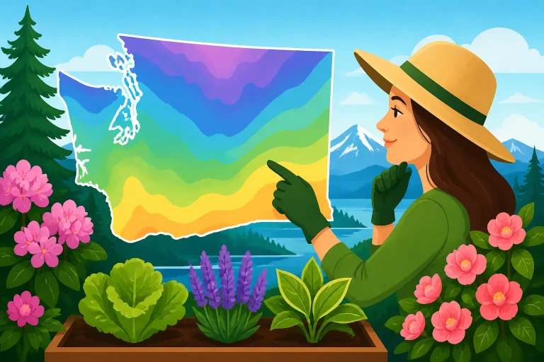
The USDA Plant Hardiness Zone Map groups locations according to their average annual extreme minimum winter temperature. It is designed mainly to help compare the cold tolerance of perennial plants: trees, shrubs and other plants expected to remain in place through winter.
A zone is a useful starting point, not a guarantee. It describes a long-term pattern, not the lowest temperature your garden will experience in a particular winter. A cold snap can fall outside the average, and a plant’s survival also depends on how exposed it is, whether its roots are established, and how well the soil drains.
The zone number is not a rating of your entire growing season. It does not tell you:
- When the last spring frost is likely.
- When it is safe to set out tomatoes, peppers or other frost-sensitive starts.
- How many warm days a crop will get before autumn cold arrives.
- Whether a spot is sunny enough for a plant to flower or fruit.
- Whether wet winter soil, wind or summer drought will cause problems.
For example, two gardens in the same hardiness zone might have very different conditions. One could be sheltered by buildings and have well-drained soil; the other could sit in a low, exposed spot where cold air settles and winter rain leaves the ground saturated.
That distinction matters when using plant labels. A plant described as hardy in Zone 8 may be a reasonable candidate for many Western Washington gardens, but its prospects still depend on the site and on the plant’s specific needs. A plant’s hardiness rating is not a promise that it will thrive in every yard in that zone.
For broader context on how the state’s climates differ, see Understanding Washington Growing Zones from the Cascades to Coast. The map can help you compare winter cold risk, but it cannot capture every local difference within Western Washington.
Why the map boundaries look sharp when the landscape is not
On a map, one color ends and another begins at a clear line. In the garden, cold conditions usually change more gradually. A line between zones is a boundary between map categories, not a wall that separates one kind of winter from another.
Western Washington has a mix of marine influence, sheltered lowlands, open water, hills and higher ground. These features shape local temperatures. Near the coast or a large body of water, temperatures may change less abruptly than they do farther inland. Elevation, slope and exposure can also make nearby sites behave differently. Urban areas may hold warmth differently from open or rural sites.
The result is a patchwork. A map may place two nearby locations in different categories even when their conditions are similar, or show the same zone across locations with noticeably different wind, sun or soil moisture. At the edges of a mapped area, treat the zone as an estimate rather than a sharp dividing line.
What creates a warmer or colder yard
A few common features can make a particular spot behave warmer or colder than the surrounding area:
- Elevation: Higher ground is often colder than a nearby sheltered lowland.
- Slope and aspect: A sunny slope can warm earlier than a shaded or north-facing one.
- Cold-air drainage: Cold air tends to collect in low, enclosed places, while a gentle slope may allow it to drain away.
- Wind exposure: Wind can increase stress on plants, especially in exposed sites or during a cold spell.
- Water nearby: Large bodies of water can influence nearby temperatures, though the effect varies with distance and exposure.
- Buildings and paving: Walls, fences and paved surfaces can change how a garden absorbs and releases heat.
- Soil drainage: Winter wetness is not represented by a hardiness zone, but it can be a major factor in whether roots survive.
These are clues, not a way to calculate a different official zone for your yard. If a protected bed consistently seems milder than an exposed part of the property, use that observation when choosing a planting site, but still treat the map as a broad reference. Spotting Warmer and Colder Microclimates Across Your Home Yard offers more detail on noticing these patterns.
Why ZIP-code lookups need a second look
A ZIP code can be a convenient way to locate a general area, but it may cover more than one local climate. A lookup result is useful as a first estimate, not a precise rating for an individual address. The same caution applies to a map color viewed at a small scale: it may hide details that become visible when you zoom in.
Use Finding Your USDA Growing Zone by ZIP Code in Washington as a starting point, then compare the map with the conditions at your actual planting site. If a plant is expensive, slow to mature or difficult to replace, check the plant’s cold tolerance and local performance before relying on a ZIP-code result alone.
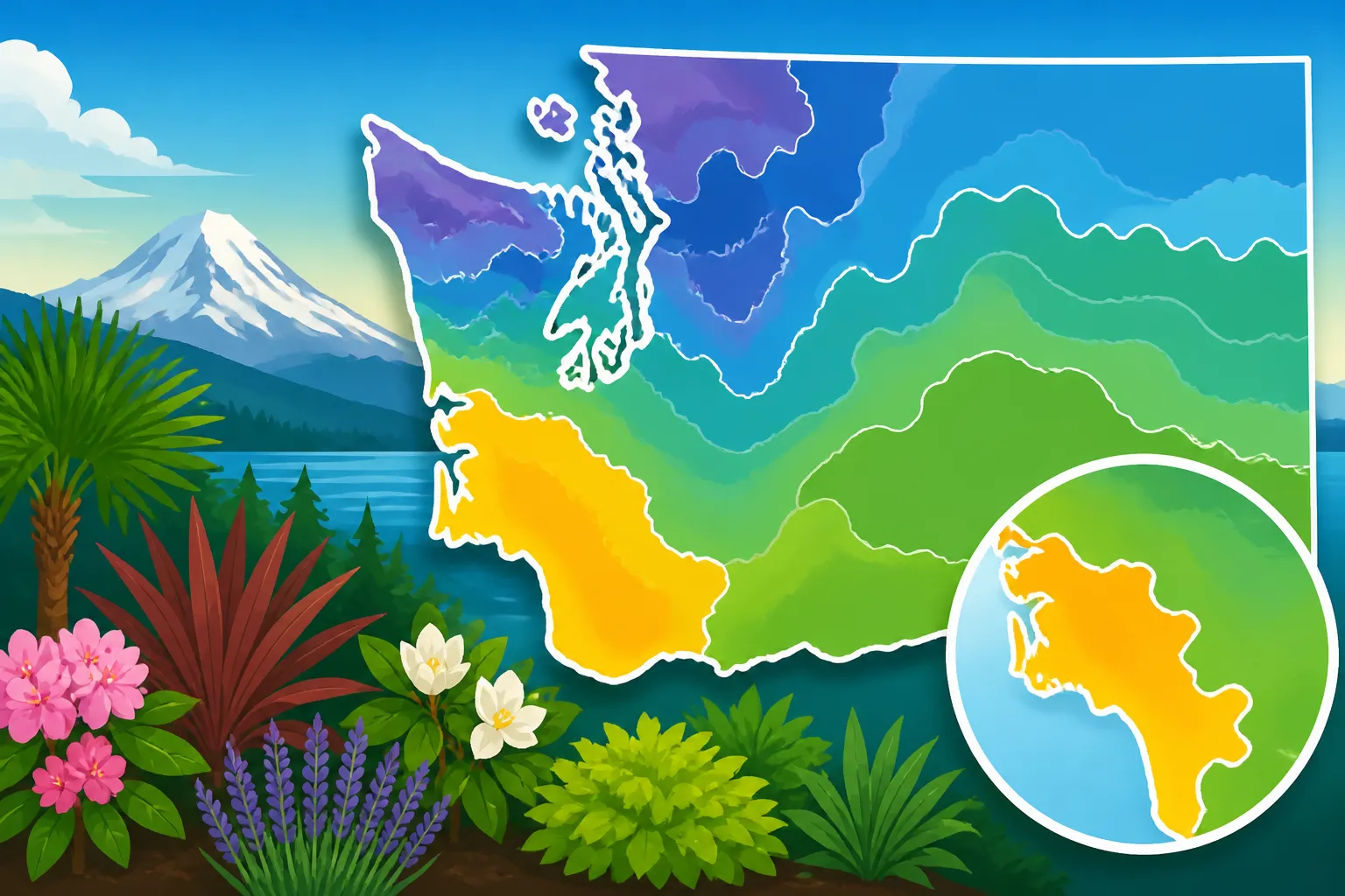
Where Zone 8 appears in Western Washington
Zone 8 appears across broad portions of Western Washington on the hardiness map, but it should not be treated as a label for the entire western side of the state. Map categories vary across the region, and smaller changes in elevation, shelter and exposure can matter even where the same zone is shown.
The practical takeaway is to look at the specific map location rather than assume that a county, city or broad geographic region has one uniform zone. Even the map’s Zone 8 areas contain gardens with different winter conditions. A sunny, sheltered bed and an exposed, frost-prone bed can pose different challenges despite sharing a map category.
| Map or garden detail | What it can help you understand | What it cannot tell you |
|---|---|---|
| A Zone 8 map result | A broad indication of winter cold conditions relevant to perennial survival | Whether every plant rated for Zone 8 will thrive in your yard |
| A nearby zone boundary | That local winter conditions may differ across the mapped area | The exact temperature at an individual garden bed |
| A ZIP-code lookup | A quick way to find a general map location | The precise zone of every address within that ZIP code |
| A sheltered garden bed | Possible protection from wind or temperature swings | A reliable replacement for the hardiness map |
| A low spot in the yard | A place to watch for cold-air accumulation or poor drainage | A different official zone assignment |
When a plant label gives a range of hardiness zones, compare the full range with the map result and consider how exposed your planting site is. A plant at the colder edge of its range may be less dependable in an open or poorly drained spot than in a protected location. A plant suited to a wider range may offer more flexibility, but soil, light and moisture still matter.
If you are considering a plant that is marginal for your location, avoid assuming that a warmer map patch nearby means your own garden is equally protected. The map represents broad climate patterns, and a yard’s individual features can either reduce or increase stress.
A careful way to use the map
- Find the location on the map. Start with the most detailed view available, and note whether the site is near a zone boundary.
- Check the map’s legend. Confirm what the zone designation represents and whether the map shows subzones.
- Compare the map result with the site. Consider elevation, slope, wind exposure, nearby buildings and the way cold air moves through the yard.
- Check the plant’s stated hardiness. Treat the rating as a winter-survival guide, not a guarantee of growth, flowering or fruiting.
- Look for local planting information. Use regional guidance when timing or crop performance matters more than winter survival.
For a map-focused walkthrough, see Looking Up Your USDA Hardiness Zone Map in Washington. If your result is close to a boundary, checking more than one view and observing your garden over time is more useful than treating a single lookup as exact.
Hardiness zones are not planting calendars
A common source of confusion is using a hardiness zone to decide when to sow seeds or transplant vegetables. The zone is about average annual extreme minimum winter temperatures. Vegetable timing depends on different conditions, including spring soil warmth, frost risk, the crop’s tolerance and the time it needs to mature.
That is why a Zone 8 map result does not mean that every warm-season crop can go outside early. A plant may survive a winter in a location and still be damaged by a spring frost when it has young, tender growth. Likewise, cool-season vegetables may be planted according to a local seasonal window that has little to do with whether a perennial shrub can survive winter.
For garden timing, use regional planting information instead of translating a hardiness zone into a calendar date. Why Hardiness Zones Fall Short for Washington Vegetable Planting Dates explains the difference, while Washington Planting Calendar: Seasonal Schedules by Region can help you think about timing across Washington’s varied climates.
Match the information to the decision
| Your question | A useful starting point |
|---|---|
| Is a perennial likely to survive winter here? | Hardiness-zone rating, plus the site’s exposure and drainage |
| When can a frost-sensitive transplant go outdoors? | Local frost patterns, the forecast and crop-specific guidance |
| When should I sow a vegetable crop? | Regional planting windows, soil conditions and the crop’s maturity needs |
| Is a yard warmer or colder than nearby sites? | Direct observation of slope, shelter, low spots and exposure |
| Will a plant flower or fruit well? | Its light, soil, moisture and growing-season requirements |
Frost dates are estimates, not fixed deadlines. Even a good regional schedule cannot guarantee that a particular spring will follow the usual pattern. Check current forecasts when a cold night could threaten tender plants, and have a way to protect plants if needed. For additional context, see Washington Freeze Dates and Growing Season Lengths.
The same caution applies to choosing a planting date based only on a warm spell. A brief period of mild weather does not mean the risk of cold has passed, and warm air does not necessarily mean the soil is ready for a crop. For spring timing, Spring Planting Guide: Waiting for True Warmth in Washington provides a more relevant framework than a hardiness zone alone.
Making plant choices with the map and your site
A hardiness map is most useful when it becomes one part of a planting decision. Start with the winter survival question, then look at the other conditions the plant needs. A plant may be cold-hardy enough for a Zone 8 area yet struggle because the soil stays wet, the site is too shaded, or summer conditions do not suit it.
Before buying or planting, check:
- Cold tolerance: Does the plant’s stated hardiness include the map result?
- Drainage: Will the planting site remain saturated during wet periods?
- Light: Does it need full sun, partial shade or protection from afternoon heat?
- Wind: Is it exposed to strong or persistent winds?
- Seasonal moisture: Does it tolerate dry summer conditions or need regular moisture?
- Space and placement: Will it fit at maturity without being shaded or crowded?
- Local performance: Is there reliable regional information about how it grows in similar conditions?
A plant that is marginally hardy may benefit from a sheltered planting spot, but shelter cannot remove all risk. A protected site may still experience an unusual cold winter, and a wall that reflects heat could create other stresses. For a plant that is difficult to replace, choose a location based on the plant’s full needs rather than trying to compensate for a poor match with one favorable feature.
Use observation to refine decisions
Keep simple notes about your yard. Record which beds hold frost longest, where spring soil dries or warms first, and which areas collect cold air or water. Note differences between exposed and protected locations. These observations cannot change the official map zone, but they can help you choose among suitable planting sites.
A garden journal also helps separate a one-off event from a recurring pattern. One cold night does not necessarily mean a plant is unsuitable, just as one mild winter does not prove a marginal plant will always survive. Over several seasons, you may see which areas consistently have more exposure, colder nights or slower spring warming.
For vegetable beds, track sowing and transplant dates alongside weather and crop performance. This can help you adjust timing without mistaking a zone designation for a planting schedule. For perennials, note winter damage and whether the plant was newly planted, exposed to wind or growing in wet soil. Those details can help explain poor performance more accurately than the zone number alone.
When to seek a more specific answer
A general map is usually enough for an initial comparison, but some decisions call for more local information. Seek a region-specific planting calendar when deciding when to sow or transplant vegetables. For an unfamiliar perennial, look for growing advice that addresses Western Washington conditions, including winter drainage and summer moisture. If a plant’s label gives no clear cold-tolerance information, ask a knowledgeable local nursery or consult a reliable regional horticultural resource before making a costly purchase.
It can also help to distinguish a plant’s ability to survive from its ability to perform well. A perennial might remain alive but flower poorly, grow slowly or suffer repeated damage. If the goal is a dependable display or harvest, choose plants suited to the site’s light, moisture and growing season as well as its winter cold.
The best use of the Zone 8 map is therefore modest but valuable: narrow down winter-hardy choices, identify when a location is near a boundary, and prompt a closer look at local conditions. Pair it with planting calendars, frost information and observations from your own yard. That gives you a more realistic basis for deciding what to plant and where.
Frequently Asked Questions
Does all of Western Washington fall in Zone 8?
No. Zone 8 covers broad portions of Western Washington, but the map includes variation across the region. Check the specific map location rather than assuming that a city or county has one uniform zone.
Does a Zone 8 result mean a plant will grow well in my yard?
Not necessarily. It is an indication related to winter cold tolerance. Drainage, light, wind, summer moisture and the plant’s other needs also affect whether it thrives.
Can I use my hardiness zone to time vegetable planting?
Not reliably. Hardiness zones are mainly for comparing perennial winter survival. Vegetable planting depends on factors such as frost risk, soil conditions, crop tolerance and regional timing.
Is a ZIP-code result exact for my address?
Treat it as a general estimate. A ZIP code can include locations with different elevation, exposure or local conditions. Check the detailed map and compare it with your garden site.
Disclaimer
This article is for general informational purposes only and does not constitute professional advice. Laws, prices and regulations vary by location and change over time. Consult a qualified professional for guidance on your specific situation. Washington Gardening Guide is not a government agency and is not affiliated with any university extension, state department of agriculture or other government agency.