Looking Up Your USDA Hardiness Zone Map in Washington
A hardiness zone can help you decide whether a perennial is likely to survive winter, but finding the right zone in Washington is not always as simple as entering a ZIP code. The state’s terrain and local weather create meaningful differences from place to place. Here’s how to use the USDA map, interpret its limits, and connect the result to practical planting decisions.
What the USDA hardiness map tells you
The USDA Plant Hardiness Zone Map is a reference for assessing how well perennial plants may tolerate winter cold in a location. It is useful when comparing plants, checking a nursery label, or deciding whether a shrub or fruit tree is a reasonable candidate for your yard. It is not a complete planting calendar, and it does not describe every condition that affects a plant.
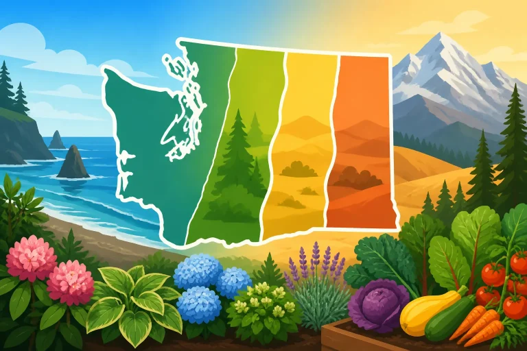
According to Washington State University, zones range from 4 -9 across Washington State on the 2023 USDA plant hardiness map.
A hardiness zone is most relevant to plants that remain outdoors through winter, including many trees, shrubs, and perennial flowers. If a plant is labeled for a particular zone, the label gives a general indication of the winter cold it can withstand after it is established. A map result can help you screen options, but it cannot guarantee that a plant will thrive in a specific garden.
The map does not tell you whether a plant will tolerate summer heat, drought, wet soil, wind, shade, or a late frost. It also does not show whether a site drains well or whether a sheltered courtyard stays warmer than the exposed ground nearby. Those differences can matter as much as the mapped zone, especially in a state where terrain and climate shift across short distances.
For vegetables, the map is a particularly incomplete guide. Many vegetables are annuals, so their success depends more on when soil and air become suitable, how long the growing season lasts, and whether a crop can mature before cold weather returns. A hardiness zone can give background about winter conditions, but it should not be used by itself to decide when to sow seeds or move tender starts outside. For timing, see Why Hardiness Zones Fall Short for Washington Vegetable Planting Dates and Washington Planting Calendars: Regional Timing Across the State.
Think of the map as one layer of planning. It helps answer a broad question about winter cold risk. To choose plants with confidence, combine that answer with information about your actual yard, the plant’s needs, seasonal timing, and local growing conditions.
How to find your location on the map
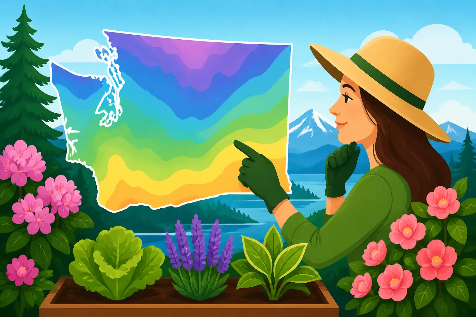
Start with the USDA Plant Hardiness Zone Map and locate the area where you garden. A ZIP-code search can be a convenient starting point, but it is not a substitute for looking at the mapped area around your home. ZIP codes cover areas rather than exact garden sites, and nearby locations can differ because of terrain, elevation, exposure, and proximity to water.
If a ZIP-code result is available, use it to get oriented, then inspect the map at a closer scale. Look for the position of your town or neighborhood and the pattern of zones around it. A result should be treated as a regional estimate, not as a measurement taken at your garden bed. The article Finding Your USDA Growing Zone by ZIP Code in Washington can help with the lookup step, while How to Check Your Plant Hardiness Zone with a ZIP Code explains why the result should be checked against the map itself.
Use a map view that makes nearby features visible. A broad overview can show the general zone pattern across Washington, but it may hide local shifts. A closer view can help you see whether the mapped boundary runs near your area or whether the map places your community within a broad zone region. If the boundary appears close, avoid treating a small difference in color as a precise prediction for an individual yard.
When checking the map, keep the location you care about in mind. If you are selecting plants for a home garden, use the garden’s location rather than a workplace, a nearby city center, or the location of a garden shop. If you are choosing plants for a property with several distinct sites, such as a sheltered side yard and an exposed slope, consider those sites separately. The same property can have warmer and colder pockets.
A ZIP-code lookup is helpful when you need a quick orientation, such as checking a plant label before buying. It is less useful when the question depends on a small-scale site difference. For that, use the map as a starting point and observe the garden itself: where frost tends to linger, where cold air collects, which walls or slopes receive shelter, and how exposed the planting area is to wind.
If the mapped result seems surprising, check the location and scale before making a decision. Make sure the map is showing the correct part of Washington and that you have not confused a nearby town or ZIP-code area with your own. Then consider whether local elevation or exposure could explain a difference between the map and what you see in the garden. A map does not need to match every small site to be useful; it needs to be interpreted at the scale it was designed for.
How to interpret the zone result
Once you have located your area, read the zone as a broad indicator of winter cold conditions. It is a tool for comparing the cold tolerance of perennial plants, not a promise that a plant will survive. Two yards with the same mapped result can still have different outcomes because one may be sheltered and well drained while the other is windy, exposed, or prone to cold-air pooling.
Check the plant’s full requirements rather than stopping at its hardiness label. A plant might be cold tolerant but poorly suited to your soil, moisture, light, or summer conditions. Another may survive winter but struggle to flower or produce fruit if the growing season does not match its needs. Use the zone as an initial filter, then check whether the plant’s other requirements match your site.
When a plant label gives a range of suitable zones, compare that range with the map result for your area. Treat a match as a reason to investigate further, not as proof of success. Pay attention to whether the plant is a perennial, a tender annual, or something grown in a container and moved under protection. Those differences affect how the hardiness information should be used.
Container plants need special consideration. Roots in a pot are more exposed to winter conditions than roots in the ground, so a plant that is suitable for the local zone may still be vulnerable in a container. A pot’s location, size, material, and exposure can all affect how much protection the roots receive. If you plan to keep a perennial in a pot outdoors, research its container requirements rather than relying only on its in-ground hardiness label.
The map is also not a prediction of what will happen in a particular winter. Local weather varies, and a plant can be affected by conditions beyond the seasonal cold pattern represented by a zone. A plant that has been thriving for years can still be damaged by an unusual weather event, poor drainage, an abrupt temperature change, or stress from drought. Conversely, a marginal plant may persist in a sheltered location for a long time. Neither outcome changes the value of the map as a planning reference; it illustrates why the map should not be treated as a guarantee.
For more context on what zones represent in Washington, see Understanding Washington Growing Zones from the Cascades to Coast and Washington Growing Zones: How USDA Hardiness Shapes Your Season. If you are evaluating a particular tree, shrub, or perennial, use a zone result alongside reliable plant information about soil, moisture, sunlight, and exposure.
Why Washington yards can differ from the map
Washington’s landscape includes coastal areas, lowland communities, inland valleys, plateaus, and higher-elevation terrain. Those broad regions do not share identical conditions, and local differences can occur within a region. The map is useful for showing broad cold-hardiness patterns, but it cannot capture every neighborhood or garden microclimate.
Elevation can influence exposure to cold, while slopes and surrounding features can change how a particular site holds or sheds cold air. A low spot may be colder than a nearby slope. A wall, dense hedge, or tree line can reduce wind exposure, though the effect depends on the site. A location close to a body of water may experience different temperature patterns from a more inland spot. These factors can create warmer or colder conditions than a map result alone suggests.
The direction and shape of a slope can also affect how much sun an area receives and how quickly it warms. A sunny, sheltered garden may support plants that struggle in a nearby exposed location, while a shaded hollow can stay cold and damp. A sunny site is not automatically better: plants that need cool, moist conditions may suffer if placed in a hot, dry location. The goal is to match the plant to the actual conditions, not to make every garden behave like the map’s broad regional category.
Observations from your own yard can make the map more useful. Note where frost lingers, where snow or cold air tends to settle, and which areas are protected from wind. Watch how long soil stays wet after rain and where summer dryness becomes noticeable. Keep track of plants that have survived several winters and those that repeatedly struggle. These observations do not replace a hardiness map, but they can help you interpret it.
When your garden includes distinct exposures, make a simple site inventory before buying plants. Describe each bed in practical terms: sheltered or open, sunny or shaded, well drained or persistently wet, and exposed to wind or protected from it. This information helps explain why two planting areas on one property may perform differently, even if they share a mapped zone.
For a closer look at how local conditions vary, see Spotting Warmer and Colder Microclimates Across Your Home Yard. The article Why Puget Sound Shorelines and Foothills Differ Within King County also examines how conditions can shift across a region. These local observations are especially helpful when a plant appears close to the edge of its stated hardiness range.
Do not assume that every location in a named county, city, or ZIP-code area shares identical growing conditions. Use a location lookup to find the broad map result, then evaluate the actual planting site. If you are gardening on a hillside, near a shoreline, in a low valley, or in a very exposed location, the map is only one part of the decision.
Use the zone to choose plants, not to set every planting date
For trees, shrubs, and perennial flowers, the zone can help narrow a list of candidates. Start by checking whether the plant’s cold tolerance appears compatible with your mapped area. Then check whether the plant also suits your light, soil, drainage, moisture, and space. A plant that passes the cold-hardiness check may still be a poor fit if it needs conditions your yard cannot provide.
This is particularly useful when comparing plants that serve the same purpose. If you want an evergreen screen, for example, hardiness can help identify options worth researching. You still need to consider mature size, sun exposure, soil moisture, and maintenance. For a fruit tree, cold tolerance is only part of the question; flowering and fruiting requirements, pollination needs, and seasonal ripening also matter. The zone can eliminate some unsuitable choices, but it rarely identifies a single best plant on its own.
For vegetables, treat the map as background rather than as a schedule. The date a vegetable can be planted depends on crop type and local seasonal conditions. Cool-season crops and frost-sensitive crops do not have the same needs. Indoor starts need time to grow and must be acclimated before going outdoors. Seed packets and regionally relevant planting calendars can help with these decisions.
A useful calendar for Washington should account for regional differences rather than present one statewide date as suitable for every garden. A planting window that works in one part of the state may not fit a colder inland location or a higher-elevation site. For regional timing, use Washington Planting Calendar: Seasonal Schedules by Region alongside Washington Freeze Dates and Growing Season Lengths. For crop-specific planning, WSU Vegetable Calendar: Planning Across Washington Seasons can provide another point of reference.
Frost and freeze expectations are separate from a hardiness-zone lookup. A zone helps describe broad winter cold risk; it does not tell you exactly when spring becomes safe for tender plants or when autumn cold will end the growing season. Frost dates are probabilities, and actual conditions vary from year to year. Use the local forecast and a suitable regional calendar when protecting seedlings or planning tender crops. Do not treat a zone boundary as a planting date.
The map can help you assess whether a perennial might survive, while a planting calendar helps with when to sow or transplant. Those are different questions. If you are deciding whether to plant a fruit tree, perennial, or vegetable, first identify what kind of decision you are making. For winter survival, check hardiness. For seasonal timing, check the crop or plant’s growing requirements and local calendar. For protection from a cold night, check current weather and follow appropriate care guidance.
This distinction prevents a common mistake: seeing a familiar zone label and assuming that any plant associated with it will grow well at any time of year. A zone does not describe soil temperature, summer heat, light levels, water supply, or the length of a crop’s productive season. Keeping those factors separate makes the map more useful rather than less.
A practical way to combine the map with your garden
Use the map as part of a short decision process whenever you are considering a new plant.
- Locate the planting site. Use the map to find the general area, and use a ZIP-code result as an orientation rather than a precise yard-level measurement.
- Check the plant’s purpose and life cycle. A perennial that stays outdoors has a different hardiness question from an annual vegetable that is replanted.
- Compare cold tolerance. Check the plant’s label or other dependable plant information against the mapped result.
- Check the rest of the site. Consider sunlight, wind, soil drainage, moisture, and exposure to cold air.
- Use a calendar for seasonal timing. For seed sowing, transplanting, and frost-sensitive crops, consult regional or crop-specific timing guidance rather than relying on the zone.
- Observe and adjust. Pay attention to how plants respond over time, and use those observations to refine choices for different areas of the yard.
This process is most valuable when a plant is a long-term investment. A tree or shrub may occupy a site for years, so it is worth checking more than its cold tolerance before planting. Consider mature size, root space, light, drainage, water needs, and whether the plant is suited to the local growing season. A good zone match is a useful starting point, not the whole planting plan.
It is also useful when deciding whether to experiment. If a plant is marginal for your area, think about the cost of failure and the role of the plant in your garden. Trying one in a sheltered location may be a reasonable experiment, while making it the centerpiece of a landscape may be a bigger risk. Consider whether you can provide appropriate protection and whether that protection is practical to maintain.
When a label and your yard experience seem to disagree, pause before assuming either one is wrong. The label describes a broad suitability range, while your yard may have a local pocket that differs from the mapped area. Check whether the plant is newly established, whether the site drains properly, and whether exposure or summer stress may be contributing. A plant can fail for reasons unrelated to winter cold, and a sheltered site can sometimes support a plant that would not thrive in a more exposed part of the same neighborhood.
For additional help evaluating cold risk, see Using USDA Zone Maps to Assess Winter Cold Risk for Plants. If the question is about vegetables rather than perennial survival, use a planting calendar and crop-specific guidance instead. That small distinction saves time: the map answers a broad question about winter cold suitability, while a calendar addresses seasonal timing.
Common mistakes when looking up a zone
One frequent mistake is treating a ZIP-code result as though it describes every garden within that postal area. It is a useful shortcut, but it represents a broader place than a particular bed. Use the map’s location and your own observations together, especially if your site is unusually exposed, sheltered, elevated, or low.
Another mistake is assuming that the mapped zone predicts every kind of growing success. A plant may survive winter but still perform poorly because of unsuitable soil, insufficient light, excess moisture, summer drought, pests, or an unsuitable growing season. A vegetable may be perfectly capable of growing in a location yet fail because it was planted at the wrong time. Keep hardiness, site conditions, and seasonal timing as separate checks.
Some gardeners also choose plants using only the coldest conditions they expect to encounter. That approach can miss other needs. A plant adapted to cold winters may still require cool summers, consistent moisture, or a specific soil type. Conversely, a plant that appears suitable by zone may be a poor match for a dry, sunny garden. Read the full description before buying.
Do not rely on the color of a map alone when the location is near a boundary. Map colors simplify a continuous landscape into categories, and the displayed boundary is not a fence around a garden’s climate. A small change in location can matter, but the visual boundary should not be interpreted as a precise site measurement. If the zone result seems close to a plant’s limits, use additional plant information and consider the conditions of the specific planting site.
Finally, avoid treating the result as a permanent guarantee. A map is a planning tool, not a forecast. The weather in any season can differ from typical patterns, and plants respond to their immediate surroundings. Check current local conditions when making time-sensitive decisions, particularly when young plants or tender crops are exposed to changing weather.
A reliable lookup is not just a number on a screen. It is a way to begin a more informed plant choice: identify the broad winter-cold context, notice how your yard differs from that context, and then check the plant’s full needs. Used that way, the USDA map can help you make better decisions without asking it to answer questions it was not designed to answer.
Frequently Asked Questions
Does a ZIP-code lookup give the exact zone for my garden?
No. A ZIP-code lookup is a useful starting point, but it does not account for every difference between a postal area and an individual planting site. Check the map around your location and consider your yard’s exposure, elevation, and microclimates.
Should I use a hardiness zone to decide when to plant vegetables?
Not by itself. A hardiness zone helps with broad winter-survival questions, especially for perennials. Vegetable planting timing depends on the crop, regional conditions, and frost risk, so use a suitable planting calendar and current local weather information.
Does a suitable zone guarantee that a plant will thrive?
No. A suitable zone suggests that winter cold may be within a plant’s tolerance, but it does not guarantee success. Soil, drainage, sunlight, moisture, wind, summer conditions, and plant health also affect results.
What should I do if the map result and my garden experience differ?
Check that you have located the right area, then consider whether your yard has a warmer or colder microclimate than the broader map suggests. Also check for non-cold causes of plant stress, such as poor drainage or unsuitable light. Use the map as one piece of information rather than a final verdict.
Disclaimer
This article is for general informational purposes only and does not constitute professional advice. Laws, prices and regulations vary by location and change over time. Consult a qualified professional for guidance on your specific situation. Washington Gardening Guide is not a government agency and is not affiliated with any university extension, state department of agriculture or other government agency.